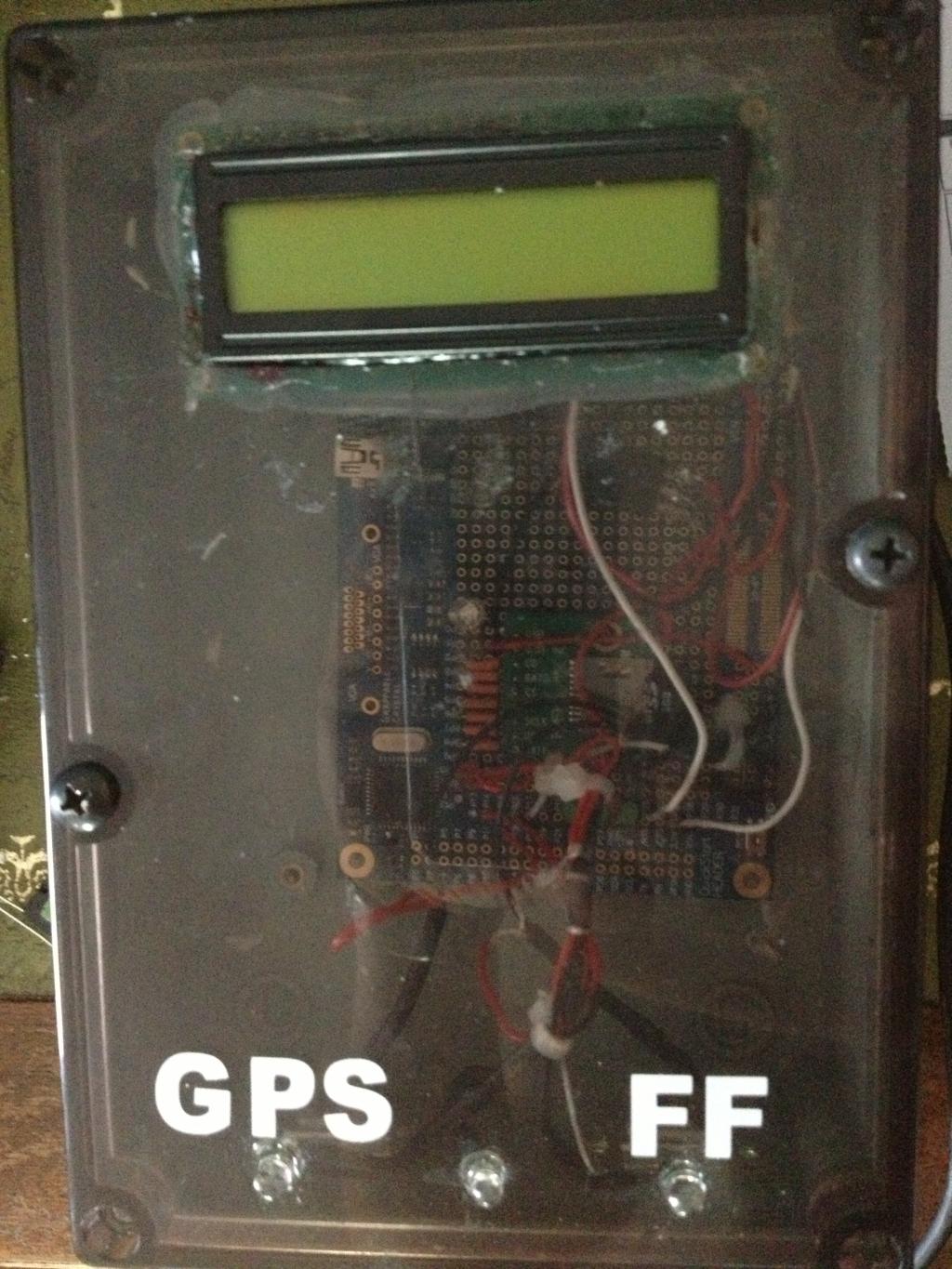
GPS and Fishfinder data on a boat.
I've just finished this, which taps into the NMEA data from a GPS and from a Fishfinder on my boat (it also does fuel flow but my fuel flow sensor gave up the ghost over the winter). The data is logged to an SD card and displayed on the LCD. It snapshots the fastest speed seen, etc.,:

I am hoping that the code is reasonably self-explanatory. I have some data using the GPS/FF in simulator mode, but the weather has been too poor to get on the water. :blank:
Its been through a few iterations which is why the wiring and soldering looks rubbish!

I am hoping that the code is reasonably self-explanatory. I have some data using the GPS/FF in simulator mode, but the weather has been too poor to get on the water. :blank:
Its been through a few iterations which is why the wiring and soldering looks rubbish!


Comments
Its probably not very good code from a technical point of view. I always try to consider the next chap who might have to deal with my code - it might be me!
FFGPS38_Devantech - Archive [Date 2013.06.07 Time 14.59].zip
Hugh,
I have to say +1 to Andrew's comments. I haven't seen code commented that well in a long time.
Very well done!
Excellent write-up as well. Will be a reference for me for a few projects on my to-do list.
I was going to send congrats also, but you beat me to it!
FFGPS60_serial - PROP 1.zip
ACC11_serial - Prop 2.zip
(Sorry, I archived with the Prop tool!)
Very nice progress Hugh!
BTW, it's best to archive with the Prop Tool. We all know how to unzip.
Depth of water under the boat:
Position (Latitude and Longitude):
About 1/3 in I throttle back and the vertical heave is then just due to the waves. Not yet converted to 'g'
Deeper = red
Losing the LCD and using an M44D40+ and PowerTwig from WBA Consulting has allowed me to get into a smaller/neater box, with a 9V battery powering it.
(If I need to, I will make another module with the LCD, connected to this one and with its own supply).